Standardized Choropleth maps use the ordinal progression of various classes from a spectrum of high to low and etc. In these maps the variable measured is standardized to help provide the information in an easier way to understand.
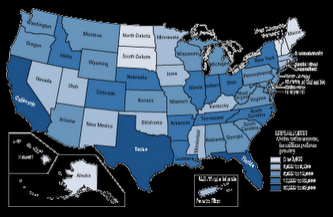
A univariate choropleth map uses one determinate variable which is visually represented through a single shading choropleth scheme; ultimately reflecting frequency of that particular variable.
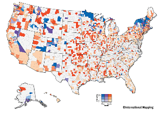
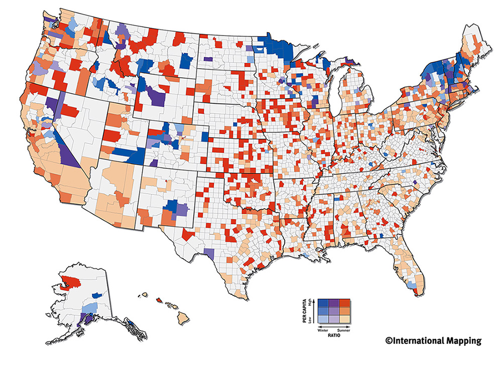
A Bivariate choropleth map uses two determining variables each with its own choropleth color gradant scheme. The overlapping of these colors sometimes makes it difficult to read the data.
In objection to classified choropleth maps, unclassed choropleth maps utilize a continuum shading technique to represent frequency that is not affective cartographic decision. The picture above is comparing the two different types of unclassified and classified representing the proportion of married couples.
A classed Choropleth Map is when you divide data results into equal interval or frequency categories. This was used in the past to help represent different data values with minimal colors on printed maps.